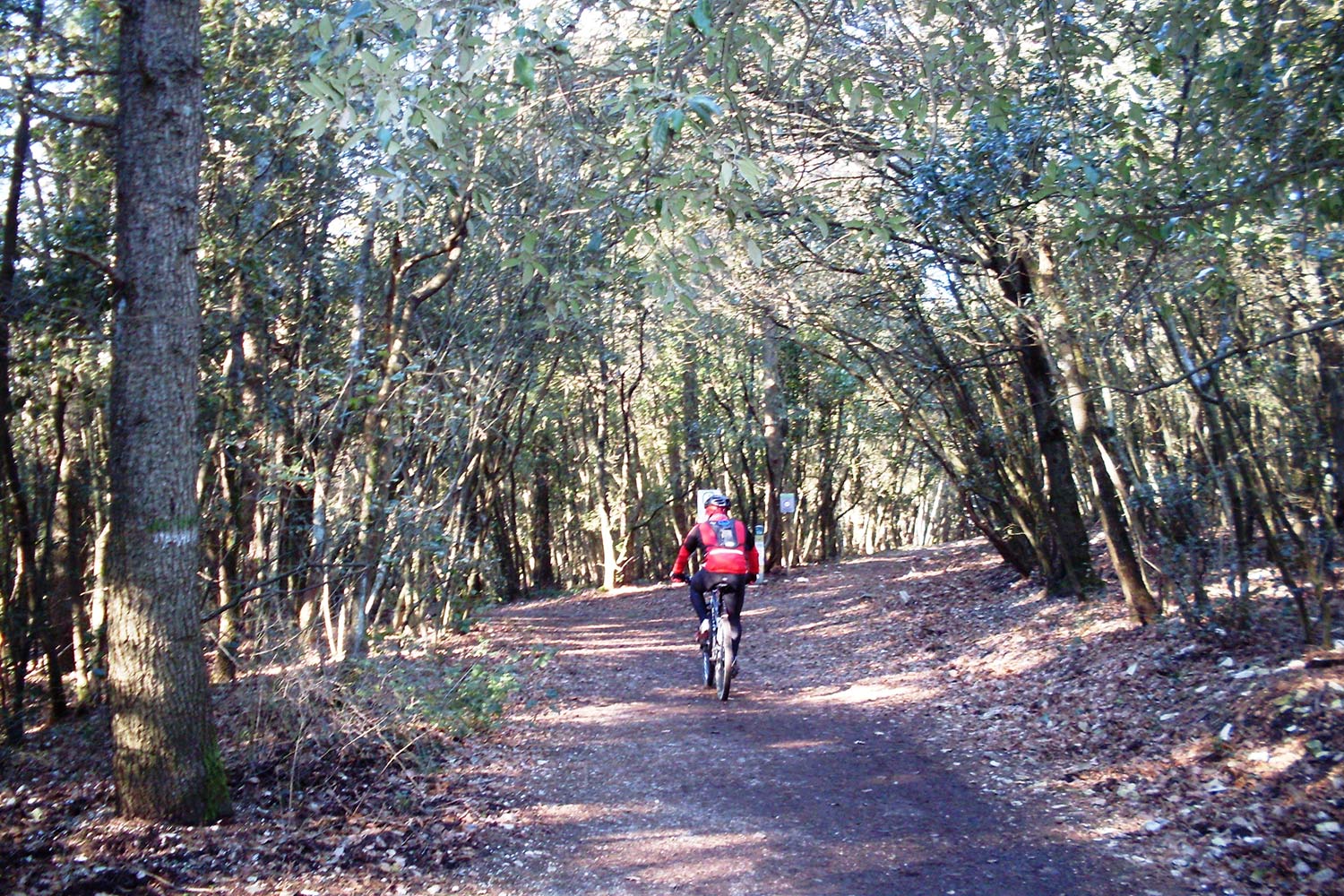
Mountain bike trail on Monte Conero
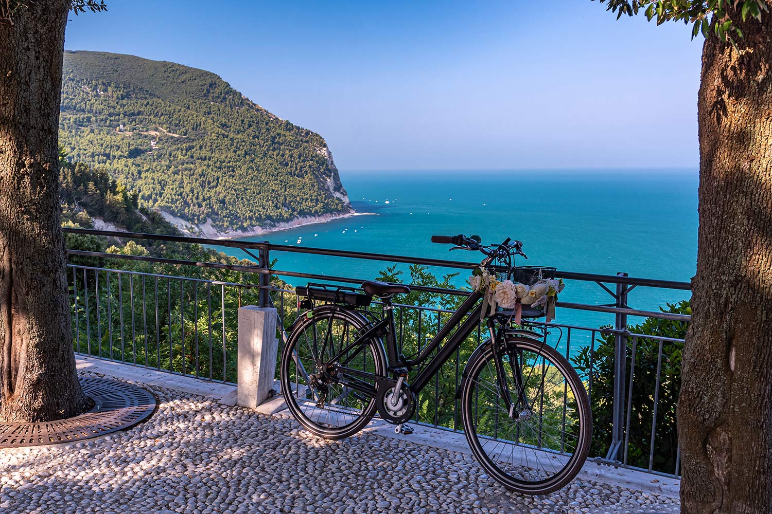
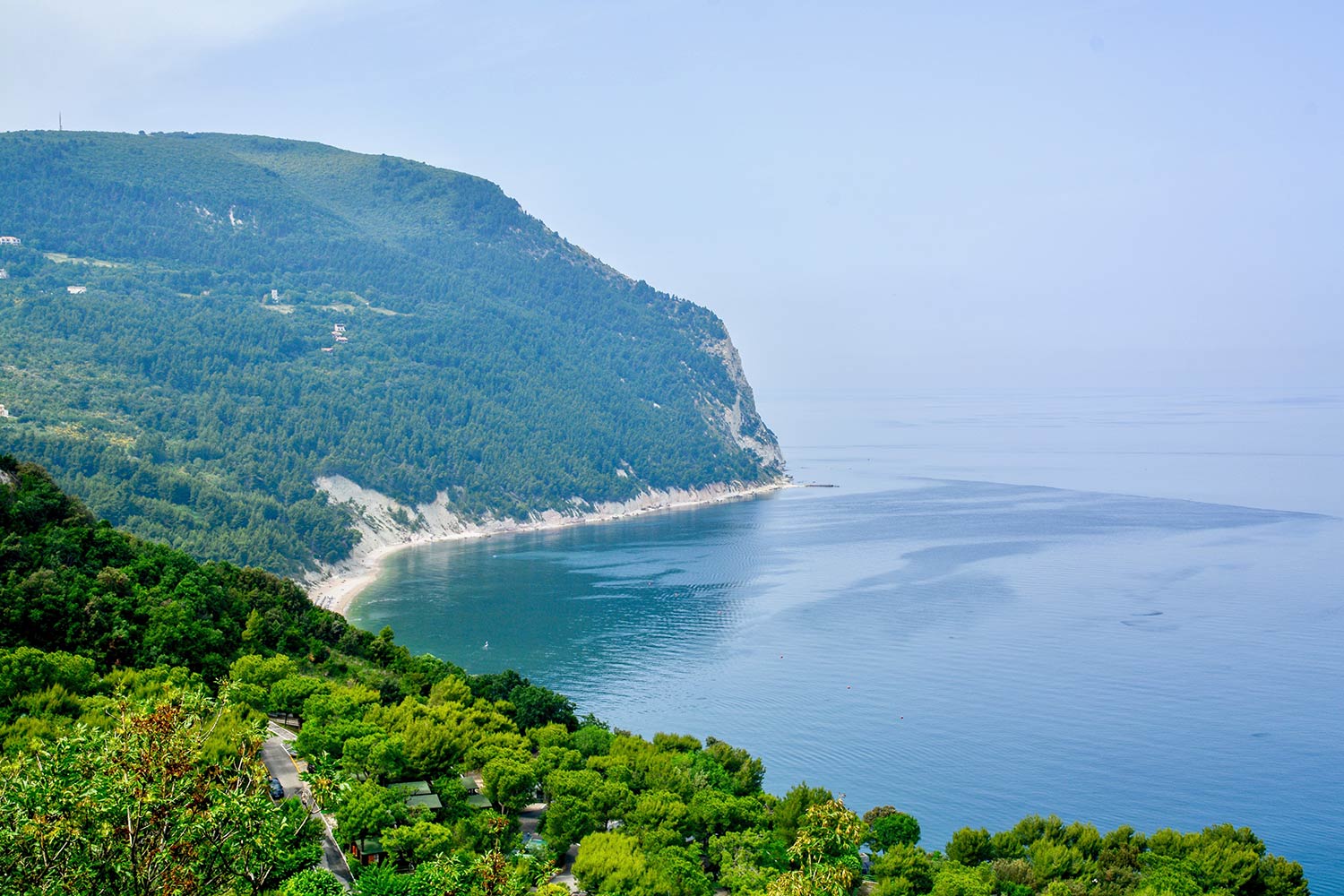
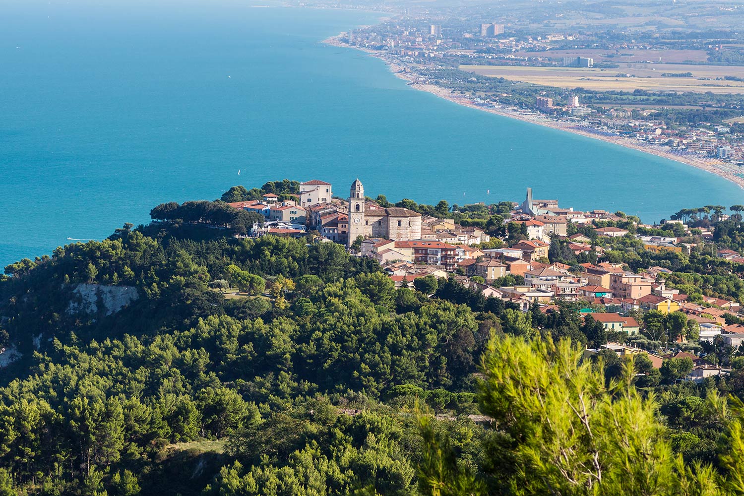
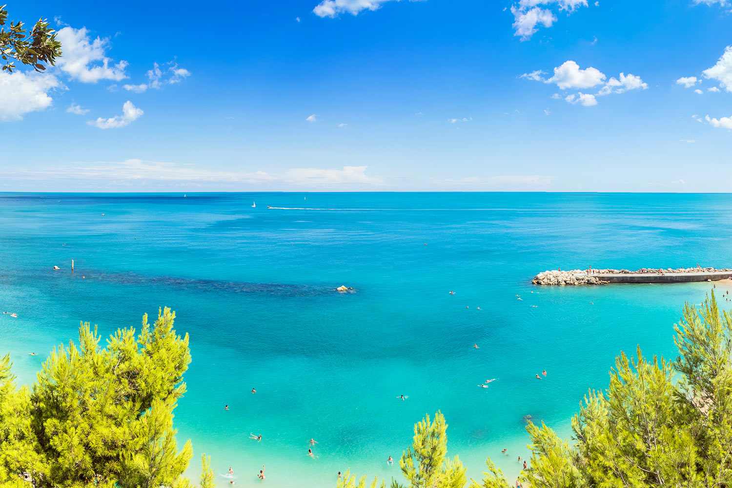
Monte Conero, in the Marche region, is a destination that deserves to be explored by bike. It offers breathtaking views of the Adriatic coast, between Portonovo and Sirolo, places characterized by crystal clear sea and white sand beaches.
The Conero is 512 meters high and it’s also called the “elbow of Italy”, being the only stretch of rocky coast from Trieste to Gargano, dividing the Adriatic coast into two sections.
The mountain is characterized by stone quarries from which a white stone was extracted to build houses and other kinds of buildings in this area.
This territory has become a natural park since 1987, due to its peculiarities. The Park represents an excellence in the entire Adriatic coast, this protected natural area rises around the only coastal promontory which is up to the Gargano.
There are several destinations that we recommend to visit: from cities such as Ancona, Camerano, Sirolo and Numana, to the various paths within the park, to the bay of Portonovo with its pristine beaches, crystal clear waters and its historical jewels such as Santa Maria di Portonovo or the Torre De Bosis.
We also suggest Monte Conero because there are mountain bike trails suitable for both beginners and more experienced bikers.
Ring-route on Monte Conero

The trail that we propose is a ring-route. It starts with a fairly demanding climb: therefore, you need to be well trained, even if it’s mostly on a dirt road, only in the second part does it’s a single track.
The climb is short (about 3-4 kilometers), with humid terrain that becomes a bit slippery due to the presence of rocks, but in normal conditions it’s almost all suitable for bikes. Only in some parts of the trail it’s necessary to wheelie the bike if you aren’t skilled.
At the end of this section you can admire the splendid panorama of the natural terrace overlooking Portonovo.
Going up you get to the highest Belvedere, then go down to go to the Badia di San Pietro, where you can stop and have lunch in the two bar-restaurants located at the foot of the former convent.
The descent back to the starting point is technically difficult, although not difficult for those who already have experience on mountain biking. Protections are however recommended.
For those who have little experience in technical descents and a low level of training, it’s recommended to go up to Convento using the state road and then go downhill only, using the dirt road that we did uphill on the suggested route.
Technical advice
There are many paths that can be traveled, all of a certain technical level, so the protections are useful. There are no sources of water on the way up, however there are bars in Badia, so there is no need to carry as much weight with you.
In case of wet ground, those who are well trained can decide to go up the single tracks that are in the woods, the dirt road is in fact very rocky and slippery.
Credits foto: Claudio.stanco [CC BY-SA (https://creativecommons.org/licenses/by-sa/3.0)]
Where to park
A few hundred meters from the departure there is a parking lot, but also at the starting point near the Osteria del Poggio there are many places where to park.
Technical data
Departure: Ancona-Osteria del Poggio
Arrival: Ancona-Osteria del Poggio
Length: 11 kilometers
Difficulty: difficult
Recommended period: April-November
Discipline: mountain bike
Difference in altitude: 600 meters
Highest point: 626 meters
Lowest point: 118 meters
Duration: 3 hours
